

This project is not covered by Drupal’s security advisory policy.
Adds basemap.at, the official Austrian federal basemap, as ready-to-use map definitions for the Leaflet module.
basemap.at is published by the Federal Office of Metrology and Surveying as Open Government Data under CC-BY 4.0, providing high-quality, up-to-date map tiles covering all of Austria. No reliance on third-party commercial tile providers.
Once enabled, the module registers four map presets:
- basemap.at: standard colour map
- basemap.at (Grau) — grayscale variant
- basemap.at (HiDPI) — high-resolution tiles for retina displays
- basemap.at (Orthofoto) — aerial orthophoto with label overlay
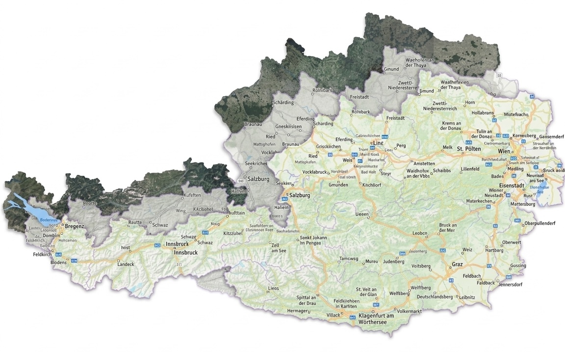
These appear automatically as selectable maps anywhere the Leaflet module lets you choose one, Leaflet-formatted geofield widgets and formatters, Views Leaflet displays, and so on. No configuration page needed: install, enable, and pick your basemap.
Requirements
This module was developed with help from an LLM
Supporting organizations:
Initial Development
Project information
- Project categories: Content display, Integrations
- Ecosystem: Leaflet
- Created by grienauer on , updated
 This project is not covered by the security advisory policy.
Use at your own risk! It may have publicly disclosed vulnerabilities.


