

Adds basemap.at, the official Austrian federal basemap, as ready-to-use map definitions for the Leaflet module.
basemap.at is published by the Federal Office of Metrology and Surveying as Open Government Data under CC-BY 4.0, providing high-quality, up-to-date map tiles covering all of Austria. No reliance on third-party commercial tile providers.
Once enabled, the module registers four map presets:
- basemap.at: standard colour map
- basemap.at (Grau) — grayscale variant
- basemap.at (HiDPI) — high-resolution tiles for retina displays
- basemap.at (Orthofoto) — aerial orthophoto with label overlay
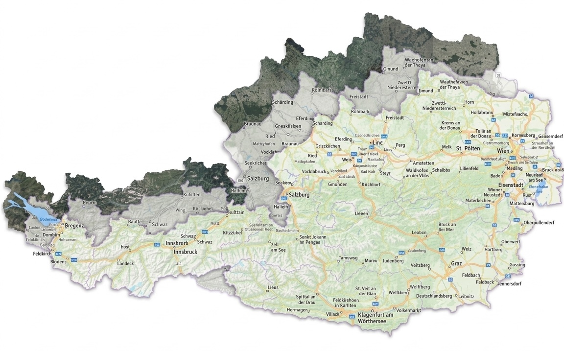
These appear automatically as selectable maps anywhere the Leaflet module lets you choose one, Leaflet-formatted geofield widgets and formatters, Views Leaflet displays, and so on. No configuration page needed: install, enable, and pick your basemap.
Requirements

This module was developed for LocalGov Drupal Austria
by ACOLONO GmbH
to show maps with the free Austrian basemap layer for websites of Austrian municipalities.
It is a standalone module. You can use it on any Drupal 10.3+ or Drupal 11 site, with or without LocalGov Drupal.
This module was developed with help from an LLM
Project information
- Project categories: Content display, Integrations
- Ecosystem: Leaflet
- Created by grienauer on , updated
 Stable releases for this project are covered by the security advisory policy.
Look for the shield icon below.


