Experimental project
This is a sandbox project, which contains experimental code for developer use only.
A module to integrate the map of Swisstopo: map.geo.admin.ch.
Usage
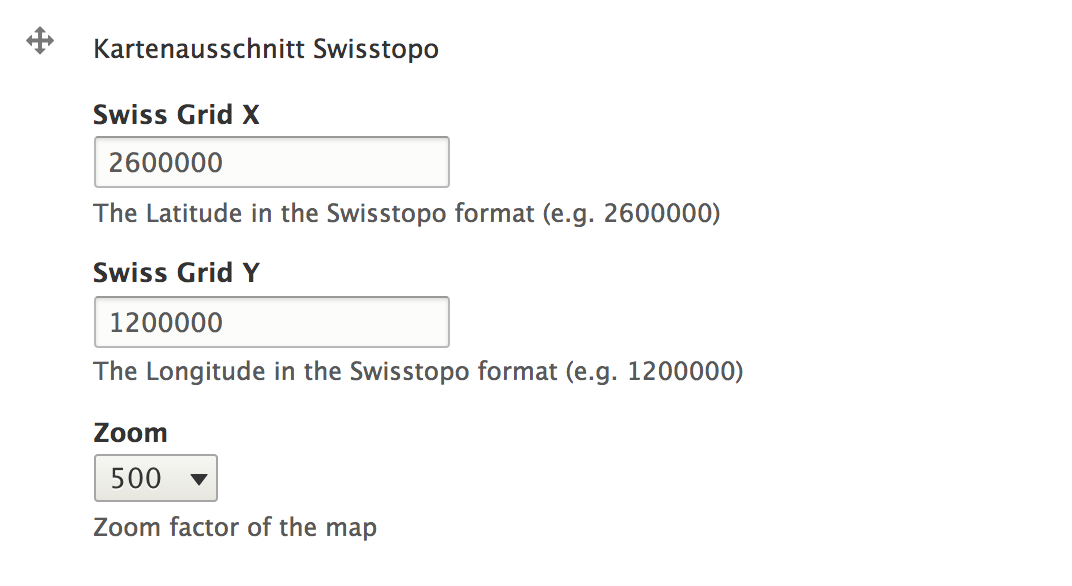
The module provides the field field_swisstopo.
You can add the field, enter X and Y Coordinates, select a zoom-level and it displays a map in your content.
Swisstopo API
The API of swisstopo has a seperate Terms of Use. Make sure that you are allowed to use the API before you use & install this module. The terms of use.
Issues
We prefer to use the issue-management on our github repo. There you can also create a pull request.
Supporting organizations:
- does magic in the browser
| Attachment | Size |
|---|---|
| field_swisstopo in the backend | 72.32 KB |
Project information
- Project categories: Integrations
- Created by btemperli on , updated