
A commonly desired functionality is the export of geospatial data as a map. While for screen display a screenshot may be sufficient, higher standards exist for print output. To meet these needs, Cartaro provides a print function for OpenLayers maps. This is implemented with the last version of MapFish Print, a server side component. Because it requires additional software on the server, it is disabled by default.
MapFish Print is written in Java and executed in a servlet container such as Apache Tomcat. The installation and configuration of MapFish Print is already documented and will not be further described here.
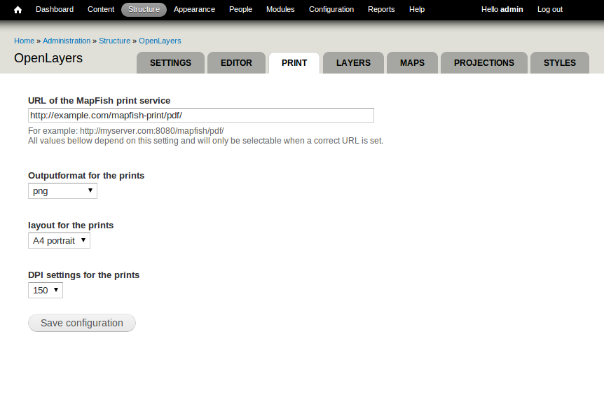
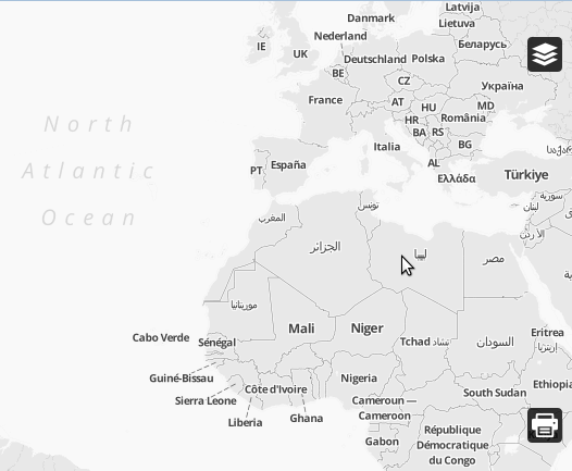
Once MapFish Print runs on the server, the OpenLayers Print module can be activated and configured by going to Structure → OpenLayers → Print (see screenshot above). Afterwards enable the OpenLayers Print behavior for desired maps and a print button should appear in the lower right corner of the map.
| Attachment | Size |
|---|---|
| OL-print2.png | 80.31 KB |


